
Local Sponsors
-
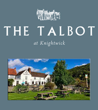
The Talbot
Knightwick, Worcester. WR6 5PH
Our unique pub is steeped in history, which has been respectfully preserved to maintain the integrity of the grade II listed structure. Warm and rustic finishes provide a homely, boutique look and feel throughout the restaurant, bar, function rooms and hotel. Independently owned, the Clift family have been managing the Talbot for over thirty years and are supported by a dedicated and talented team who help make The Talbot unique. Over many years we have developed our own style; we are firmly rooted in the traditions and seasonal produce from the Teme Valley region and strongly believe that what we cannot produce ourselves should come from a known local source. We make and grow nearly everything that goes into our pub food, from the bread to the vegetables and even the beer itself! That’s right we have our own on-site bakery, kitchen garden and a produce our own beer at The Teme Valley Brewery! The Talbot is the perfect UK staycation destination! Our 10 en-suite boutique bedrooms offer a warm, homely retreat if you’re looking to escape to the country and our enviable location makes us a great base to explore the local areas and attractions across the Worcestershire, Gloucestershire, Herefordshire, Shropshire counties. You could even nip across the border for a day trip into Wales! We are easily reached by road and rail, and we are only an hour’s drive from Birmingham International Airport. The ethos here at The Talbot is simple. We’re all about being authentic and excellent in everything we do; from the food & drink, our hospitable welcome and the home-from-home space we’ve created. So whether you’re joining us for a drink at the bar, an evening meal or staying the night, we aim to go above and beyond every time during your visit.
-
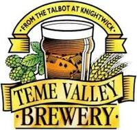
Teme Valley Brewery
The Talbot, Broomyard Road, Knightwick. WR6 5PH
The Teme Valley Brewery is a craft producer of cask and bottle-conditioned beers. Opened in 1997 to brew for The Talbot in Knightwick. The brewery has expanded and now sells directly to pubs, shops and specialist off-licences in The West Midlands. Because of the brewery’s origins in farming, we use only UK grown malt and hops from Worcestershire and Herefordshire in our beers. With the exception of a Porter and an occasional wheat beer, all of our beers are “Burton” bitters – the style widely recognised as “real ale”.
-
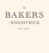
The Bakers of Knightwick
The Talbot, Knightwick WR6 5PH
Favourites include white, wholemeal, malted, 8-grain, sourdough, seeded wholemeal, and small flavoured loaves. Our expert bakery chefs makes a selection of fresh bread and buns every Wednesday, Friday, and Saturday morning in our own on-site Bakery. They are available to buy from the Talbot every Wednesday, Friday and Saturday, and we also stock produce at our monthly Teme Valley Market.
-
The Severn Rivers Trust
Unit 3, Hope House Farm Barns, Hope House Lane, Martley. WR6 6QF
An independent environmental charity established to secure the preservation, protection, development and improvement of the rivers, streams, watercourses and water bodies in the Severn catchment.